One Road City
The spine
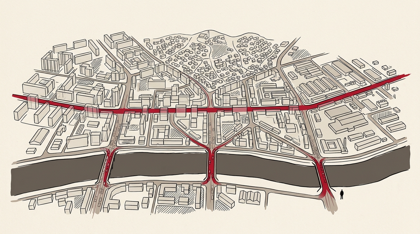
Enkhtaivany Urgon Choloo — Peace Avenue — runs east to west through the center of Ulaanbaatar. It is the city's only true arterial spine: a 15-kilometer corridor that carries government ministries, department stores, hotels, universities, and the parliament building in a single unbroken line.
Every major route in the city eventually touches it.
The river problem
The Tuul River cuts Ulaanbaatar in half, running east to west below the valley floor. The southern bank — Khan-Uul district, Zaisan, the airport road — is a separate urban world, connected to the north by exactly three bridges.
Enkhtaivany Bridge. Arshaant Bridge. Uliasutai Bridge.
Three concrete spans, built in the Soviet era, carrying the entire southern city's traffic load.
Ulaanbaatar Road Network — Primary, Trunk & Secondary Roads
Primary, trunk, and secondary road network. Peace Avenue carries most east-west traffic.
Source: OpenStreetMap 2026
What the map shows
Red is Peace Avenue. Orange dots are the bridges over the Tuul. Everything else — the grey web of primary and secondary roads — feeds into these two chokepoints.
This is not a road network. It is a funnel.
The single point of failure
In 2018, Arshaant Bridge was partially closed for repairs. Morning commute times to the southern districts tripled. Khan-Uul residents who normally reached the city center in 28 minutes waited over 90 minutes.
The city has known about this structural vulnerability for two decades. The fourth bridge — repeatedly planned, repeatedly delayed — remains unbuilt.
MORE IN SOCIAL
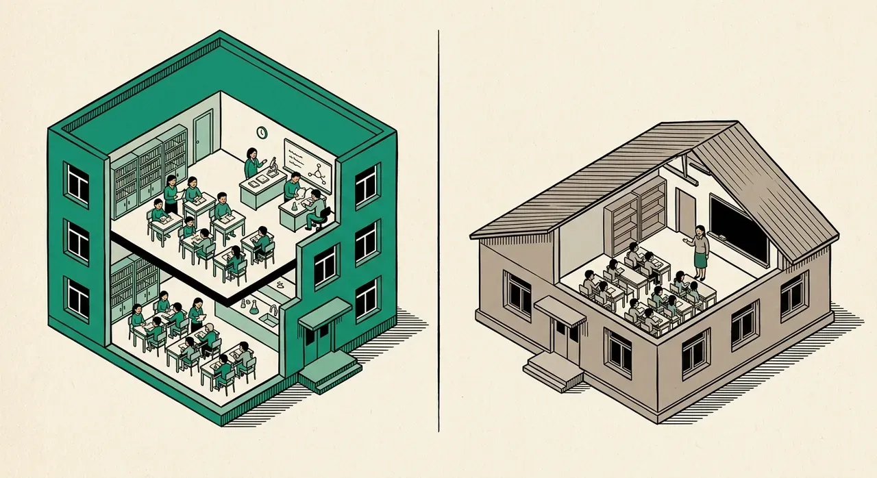
Top Schools vs. Bottom Schools: Mongolia's Education Gap
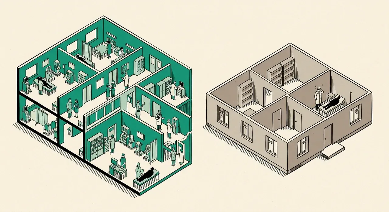
Which Hospital Should You Choose? Mongolia's Medical Data
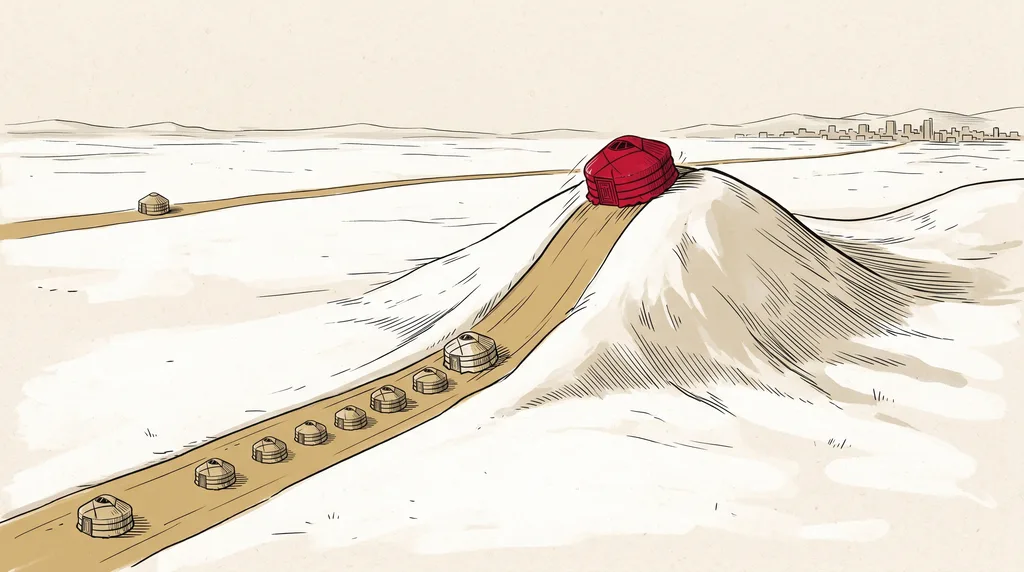
980,000 Cases: How Mongolia's Covid Compared

3 Charts, 3 Surprises: You Draw Mongolia's Future — Then See What Actually Happened
Nomad vs. City: Which Life Scores Higher?